Mapbox just added over 1 million square kilometers of imagery covering major cities in the US, Canada, and Europe. That’s more than 6.6 million pixels, with resolutions ranging from 5 cm to 25 cm, that give an updated view to plan a drive, track a delivery, or look at recent hikes.
Mapbox is working with a new partner, Vexcel Imaging, to bring high-resolution aerial imagery over cities in Canada, the United Kingdom, Italy, Finland, and Norway for the first time! Our U.S. and pre-existing European aerial coverage has also been updated with recent imagery. Through this multi-year partnership, Mapbox will provide ongoing updates for the most populous and fastest changing cities, ensuring customers are working with the most current data possible.
Rainer III Nautical Stadium and yachts, Port Hercules, Monaco
Mapbox Aerial Imagery: Vital for Safety, Decision Making and Exploration
Mapbox customers use aerial imagery in a variety of ways. It provides additional context to the map when exploring a new area for an outdoor excursion. It helps set property boundaries for security cameras or pet monitoring. It helps identify structures for business opportunities like roofs for solar panels or land for development. It also serves as a great reference for change over time, helping determine how to resource for changing and expanding city boundaries. For this reason, it’s pivotal that imagery remains up-to-date and high-resolution.
Before: Neighborhood in Cincinnati with small track and playing field
After: Neighborhood reconfigured to accommodate FC Cincinnati’s new stadium
Before: Beginning of suburban development outside of Reno, NV
After: Completed suburban development outside of Reno, NV
Updated, high-resolution Mapbox imagery can also be be used in games like Unzoomed.
"In Unzoomed, players try to guess a hidden city based on an aerial view. Each incorrect guess reveals more of the surrounding aerial view. I’m thrilled with the imagery refreshes from Mapbox that make for crisper & richer gameplay for hundreds of cities in Unzoomed." Benjamin Td, Software Engineer and Creator of Unzoomed
The Benefits of Mapbox Aerial Imagery
Using Mapbox aerial imagery, part of the ‘mapbox.satellite’ layer, provides a number of benefits to customers:
It delivers a seamless collection of imagery covering the entire planet. Sourcing even medium-resolution global imagery like Landsat or Sentinel would take months of engineering time to process and render the data. Sourcing commercial imagery just for a single city can cost upwards of $10,000.
It combines over 25 high-resolution sources of imagery, including from commercial leaders like Vexcel and Maxar. Mapbox manages these sources and builds transitions to create a “best of” layer, eliminating the need for customers to discover, access, and process different imagery sources.
Mapbox makes periodic updates to the imagery so customers don’t need to manage this themselves. Customers get access to recent, high-resolution imagery so they can provide the most accurate information to their users, and make business decisions based on up-to-date information.
Before: Prague with lower resolution/lower detail
After: Increased resolution yields greater detail over Prague
Mapbox Expands Open-Source Imagery Coverage Across Europe
In addition to the new Vexcel partnership, Mapbox continues to leverage a variety of open-source imagery. Aerial imagery is often collected by local or national governments to provide their citizens with a variety of services, and Mapbox continues to bring this amazing data into the imagery layer. This round, new open data covering Czechia and Poland was added to complement open-source updates over Spain, France, Germany, The Netherlands, and Denmark. All told, over 500,000 square kilometers of open data across Europe was added.
Access Updated Aerial Imagery
Updated North American coverage
Updated European coverage
Looking ahead, Mapbox continues to source the most relevant, highest quality imagery available. The multi-year partnership with Vexcel ensures a steady stream of commercial data will be added, and the continued pursuit of open sources will augment coverage wherever possible.
Get started working with Mapbox aerial imagery today as part of the `mapbox.satellite` tileset, and learn more about the imagery here.
Lorem ipsum dolor sit amet, consectetur adipiscing elit, sed do eiusmod tempor incididunt ut labore et dolore magna aliqua.
Lorem ipsum dolor sit amet, consectetur adipiscing elit, sed do eiusmod tempor incididunt ut labore et dolore magna aliqua.
Related articles
Maps
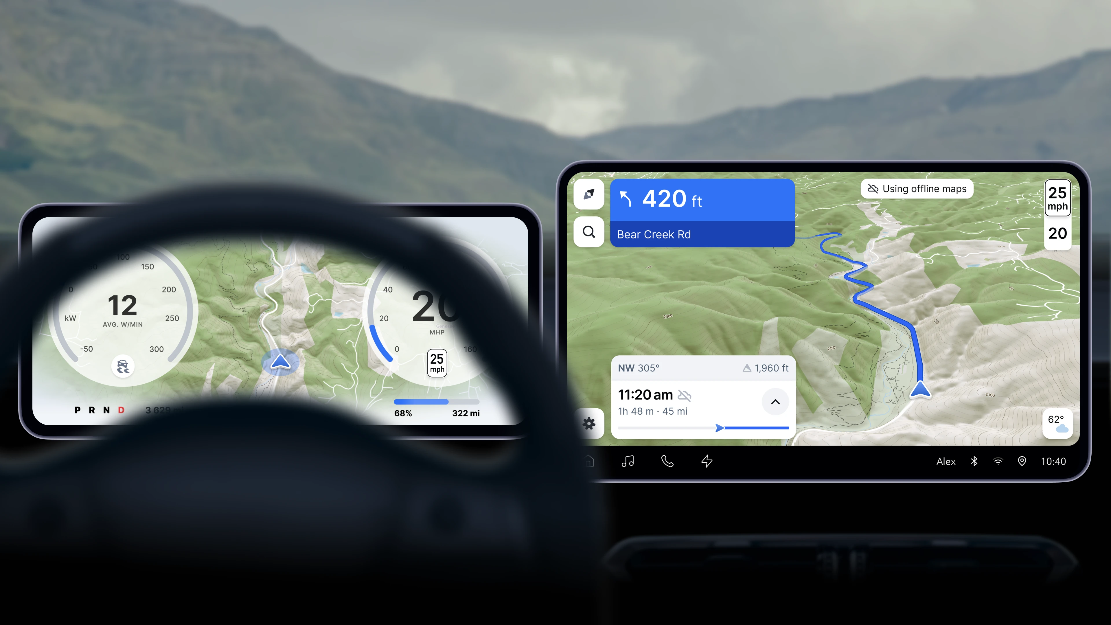
More efficient offline map tiles save up to 40% storage space